
By Aubreanna Miller
For the Herald
During the meeting of the Wayne County Commissioners on Tuesday, the board decided on an upcoming sky-view county mapping contract.
Ryan Poots with EagleView met with the board and many local community leaders about the pictometry flights. EagleView is a company that uses an airplane and high-powered cameras to map cities and counties. In this area, they photograph the city of Norfolk and the counties of Dixon, Stanton, Cuming and Knox.
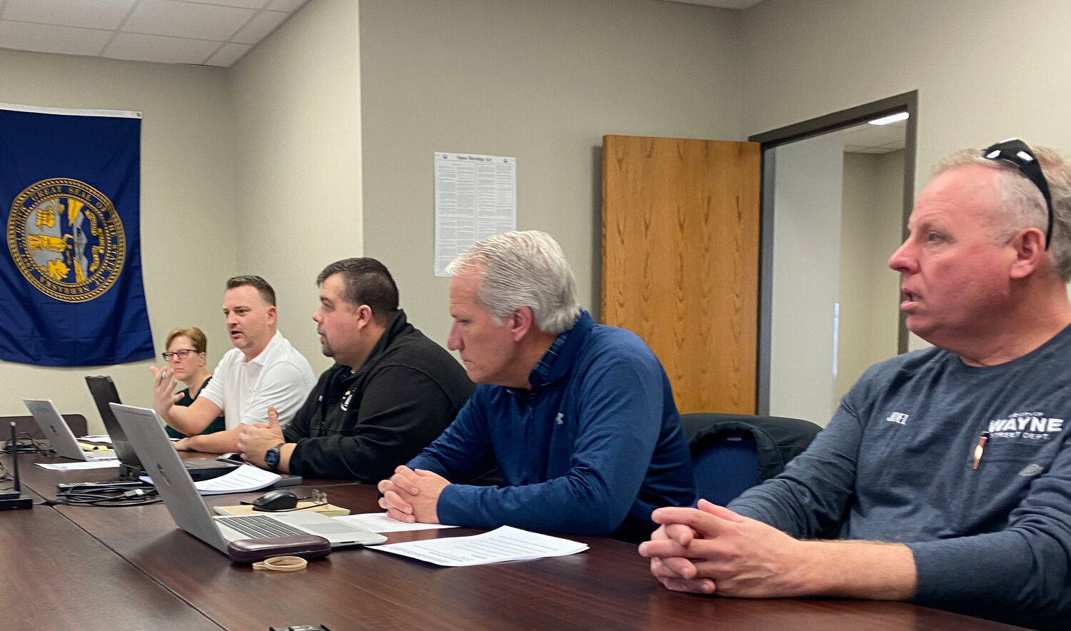
County officials Dawn Duffy, Nic Kemnitz, Kyle Huff, Jason Dwinell and City of Wayne officials Marlen Chinn, Brian Kesting and Joel Hansen spoke of the impact high-resolution pictometry has had on their jobs.
EagleView uses cameras that operate at three different resolutions- six to nine inches, three inches or one inch per pixel. As the number of inches per pixel decreases, the resolution of the picture increases.
Wayne County has contracted sky-view imaging every three years for about a decade. In the past, the rural areas were photographed using the six to nine inch resolution and the urban areas including the city of Wayne and other towns were captured using the three inch resolutions.
Poots presented photographs of Wayne County side-by-side showing the quality differences for the three categories. Two pictures of the same culvert were shown, one with a three inch resolution and the other with a one inch.
The picture using one inch imaging showed the rivets on the pipe and tire tread marks on the road above. The three inch image depicted a much blurrier version, with no specific detailing.
To Kyle Huff, highway superintendent, and Nic Kemnitz, emergency manager, the higher quality photos are crucial for emergency situations.
When a flood, tornado or blizzard wipes away roads and bridges, the Federal Emergency Management Agency (FEMA) requires photographs within two years prior to the incident, Kemnitz explained. This shows the exact quality of the area before the disaster which aids in applying for and receiving funding to rebuild.
Chief of Police Marlen Chinn also spoke of the pictometry uses for the police station. When people call in for help in emergency situations, Chinn and his team can use the map to better pinpoint the caller's location, he said. They also can see any buildings or objects that might help or hinder their response.
The mapping software also allows city and county employees to securely log-in and use features including measuring, Poots said. By simply drawing a line on the photo, the user will know the relative measurement in feet, inches, miles, etc.
Following the discussion, the Commissioners approved the company to photograph the entire county using the one inch per pixel imaging. In two years, they plan on deciding whether they would like to continue the one inch photographing every two years instead of three.
Over a two year budget cycle, the imagery costs $137,822.10 for Wayne County's 467 square miles of land.
EagleView plans to make the flights over Wayne County in March or April of this year to avoid winter snow cover or spring tree cover. The flights will take place over the course of a few days.
The public can access the basic features of the mapping at wayne.gworks.com.
As for the rest of the meeting, the Commissioners along with Kyle Huff approved the one and six year road improvement plan. A hearing was held during the meeting and no comments were made.
Iris Dutton spoke during the meeting to discuss legislative issues in Nebraska. She offered information packets and urged the board to pass a resolution supporting "the invasion at the border of the Lonestar State." No action occurred following the discussion agenda item.
The meeting ended with a representative from Allo proposing the Courthouse, Public Safety Annex and District 1 County shops switch to the Allo phone service. The project would begin with site surveying and finish installation within 11 to 16 days, the representative said. The Commissioners plan on comparing the new plan to the current one and making a decision at their next meeting.
The next meeting will take place on Tuesday, March 5 at 9 a.m.


